North America – USA – California
Hang Gliding Site Guide for Avenue L in California
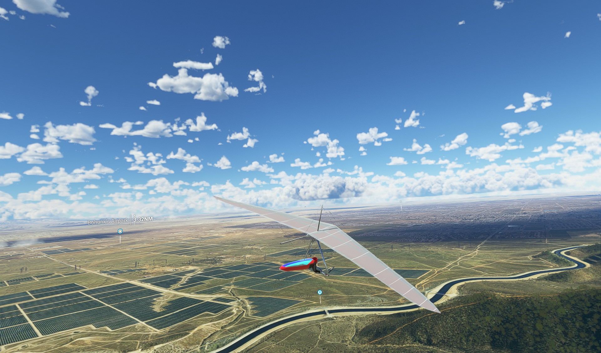
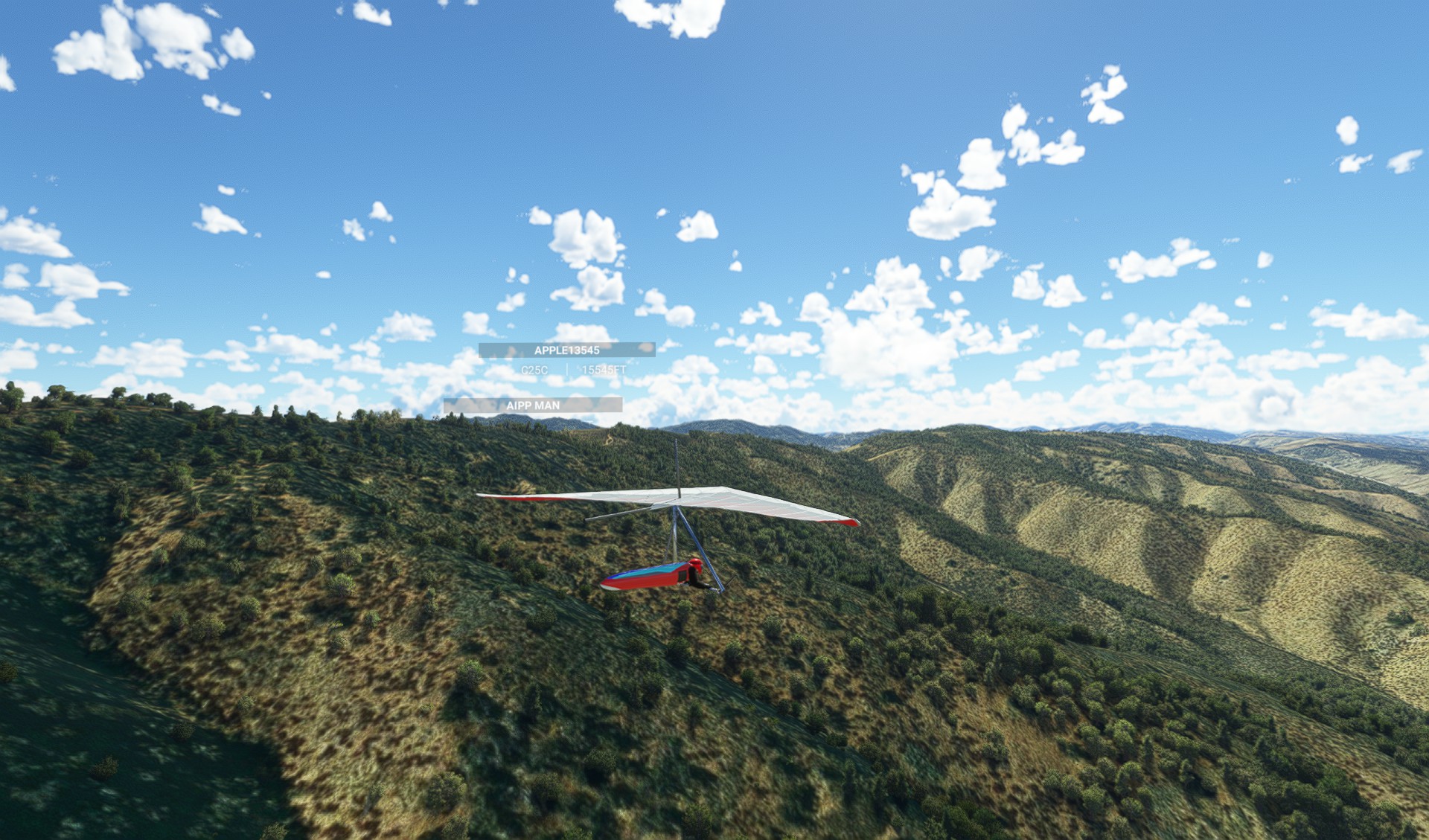
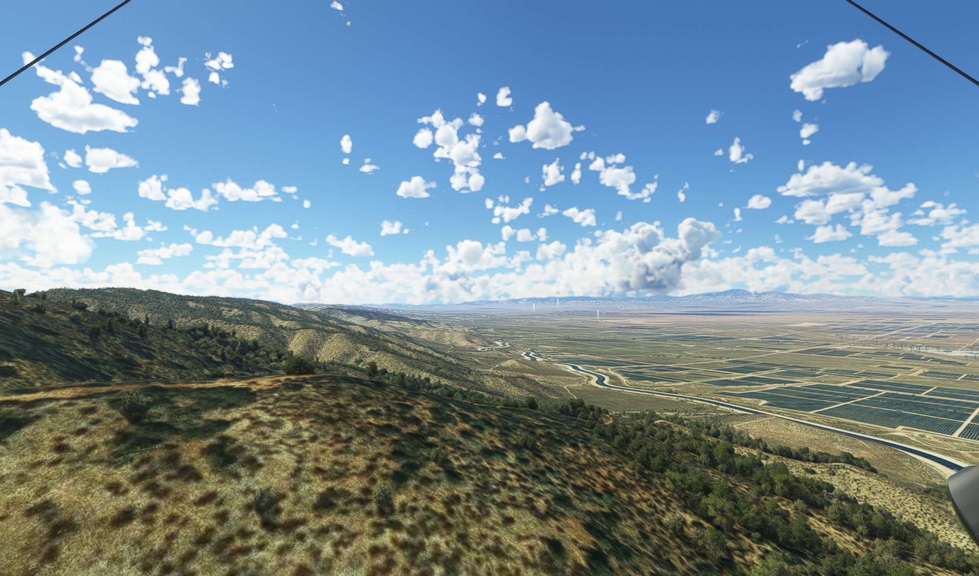
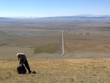
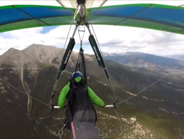
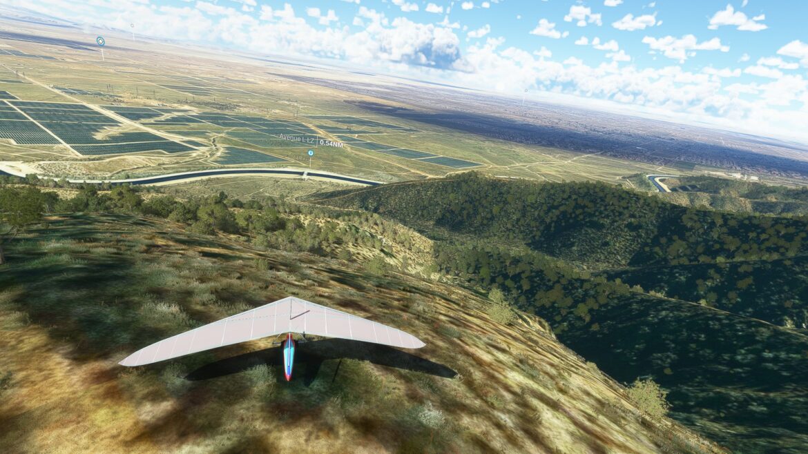
This is a guide for hang gliding at Avenue L in California, a popular site for both beginners and advanced pilots. The site offers a variety of launch and landing options, as well as scenic views of the Antelope Valley and the Tehachapi Mountains. The site is located about 70 miles north of Los Angeles, near the town of Lancaster.
Site Information
- The site is administered by the Sylmar Hang Gliding Association (SHGA), which maintains a website with more information and contact details: https://www.shga.com/
- The site is open to all pilots with a USHPA rating of H2/P2 or higher, and a current SHGA membership or day pass. The SHGA also offers instruction, tandem flights, and equipment rental for those who want to learn or improve their skills.
- The site has two main landing areas: the primary LZ and the backup LZ. Both are large and flat fields with windsocks and radio communication. There are also some alternative landing options in case of emergency or cross-country flights.
Launch Areas
Avenue L
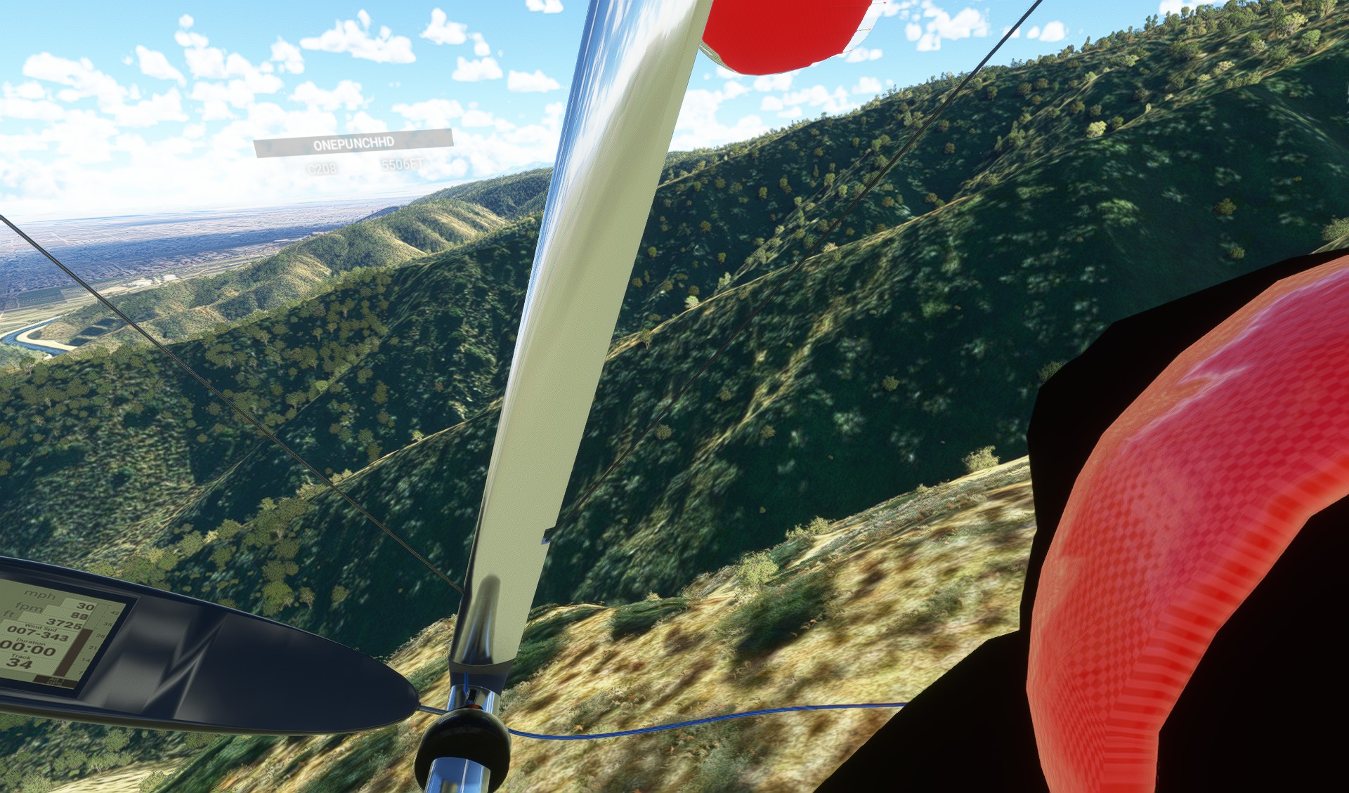
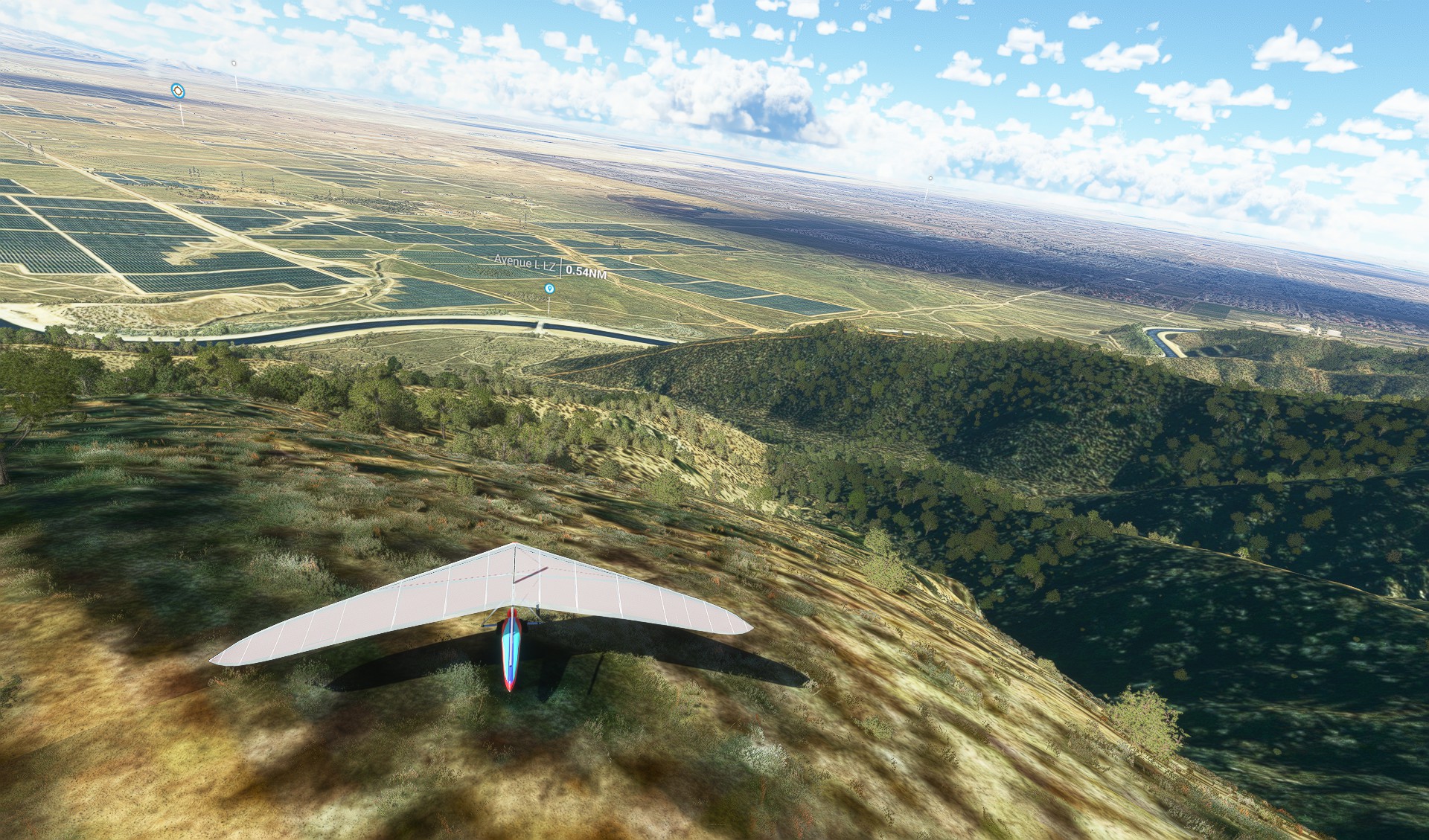
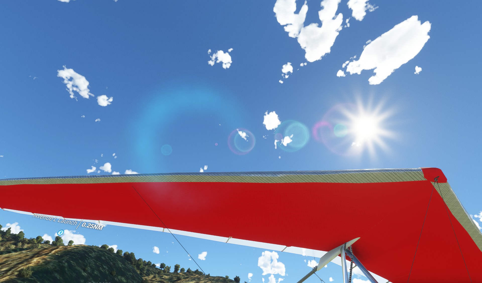
- This is the main launch area for the site, located at the east end of Avenue L, off 110th Street West. The coordinates are 34.7139° N, 118.2128° W.
- This launch faces east-southeast, and works best with winds from 90° to 135°. It has a gentle slope and a smooth dirt surface, suitable for foot launch or wheels.
- This launch offers easy access to the primary LZ, which is about 1.5 miles away. It also allows for cross-country flights to the east or south, depending on the conditions.
Landing Areas
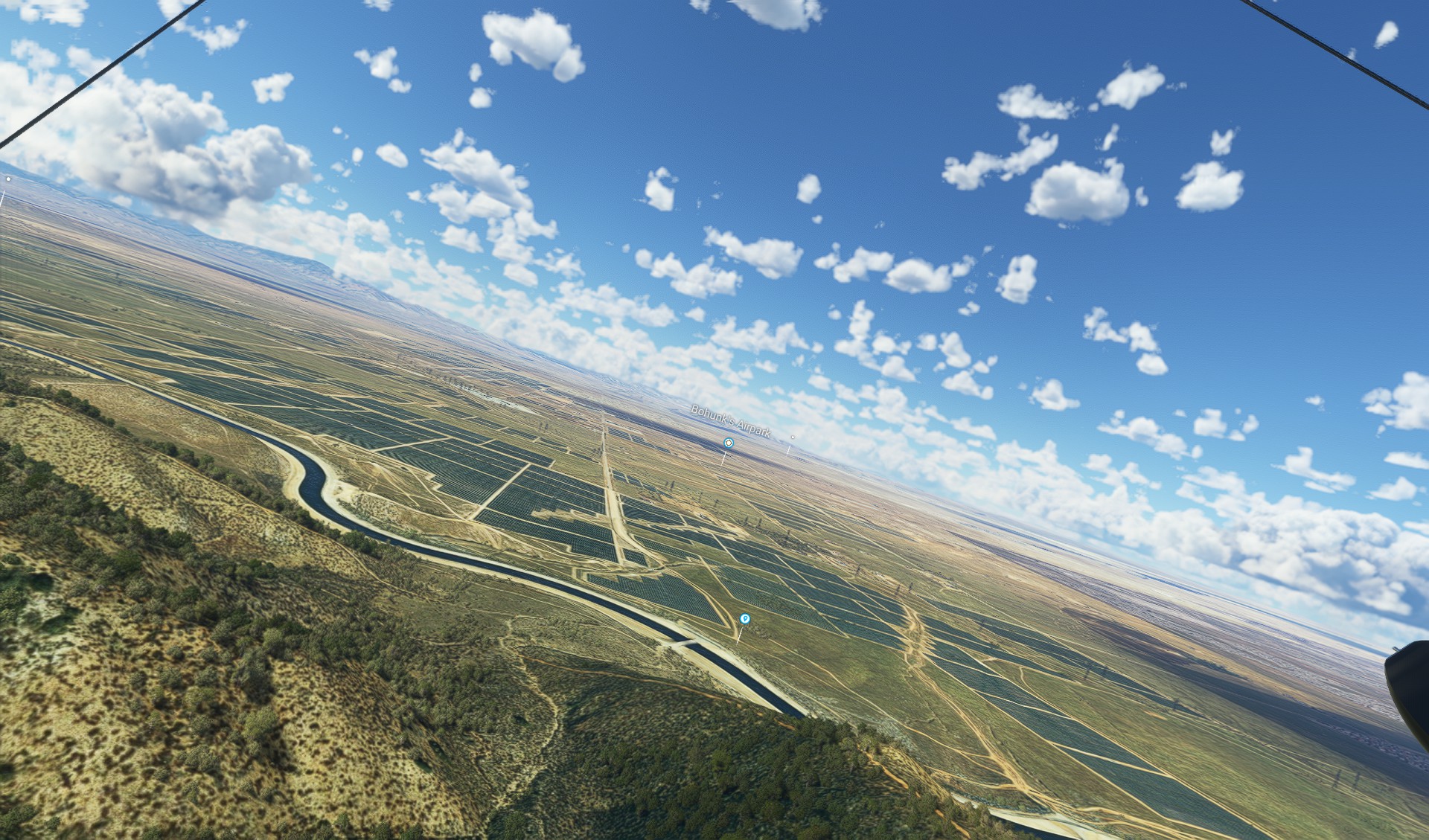
Primary LZ
- This is the main landing area for the site, located at the southeast corner of Avenue L and 90th Street West. The coordinates are 34.7017° N, 118.1736° W.
- This LZ is a large and flat field with a windsock and a radio antenna. It has a smooth dirt surface with some bushes and rocks.
- This LZ is easily reachable from any of the launch areas, except for Avenue L West when the wind is too strong from the west.
Backup LZ
- This is an alternative landing area for the site, located at the southwest corner of Avenue M and 170th Street West. The coordinates are 34.6994° N, 118.3667° W.
- This LZ is a large and flat field with a windsock and a radio antenna. It has a smooth dirt surface with some bushes and rocks.
- This LZ is reachable from any of the launch areas, except for Avenue L East when the wind is too strong from the east.
Flying Conditions and Restrictions
- The site is flyable year-round, but the best season is from October to May, when the winds are more consistent and the thermals are stronger.
- The site is subject to airspace restrictions from Edwards Air Force Base, which is located about 20 miles to the east. Pilots must stay below 14,500 feet MSL and avoid flying over the base or its restricted areas. Pilots must also monitor the aviation radio frequency 122.75 MHz for any notices or warnings from the base.
- The site is also subject to weather conditions, such as wind speed and direction, turbulence, dust devils, clouds, and visibility. Pilots must check the weather forecast and the site conditions before flying, and use their own judgment and skill level to decide whether to fly or not.
- The site is shared with other users, such as hikers, bikers, horse riders, and hunters. Pilots must respect their rights and safety, and avoid flying over or near them. Pilots must also follow the site rules and etiquette, such as signing in and out, paying fees or donations, wearing helmets and radios, and being courteous and helpful to other pilots and landowners.
Best Times to Fly and Visit
- The best time to fly at the site is in the morning or afternoon, when the winds are more favorable and the thermals are more active. The midday hours can be too strong or turbulent for some pilots, especially in the summer months.
- The best time to visit the site is in the spring or fall, when the weather is mild and the scenery is beautiful. The winter months can be cold and windy, while the summer months can be hot and dry.
- The site has hosted some record flights in the past, such as a 206-mile flight by Davis Straub in 1999, and a 182-mile flight by Jim Payne in 2000. The site also hosts some competitions and events throughout the year, such as the Spring Air Festival and the Fall Classic.
More Information
- For more information about the site, visit the SHGA website: https://www.shga.com/
- For more information about hang gliding in general, visit the USHPA website: https://www.ushpa.org/
- For more information about hang gliding in California, visit the California Hang Gliding Association website: http://www.chga.org/