Australia – Queensland
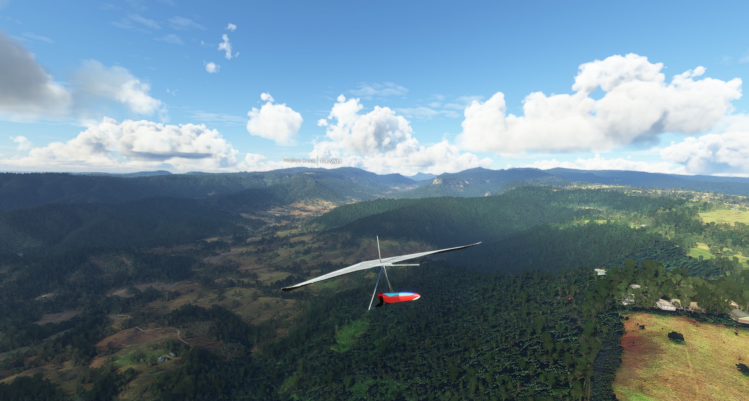
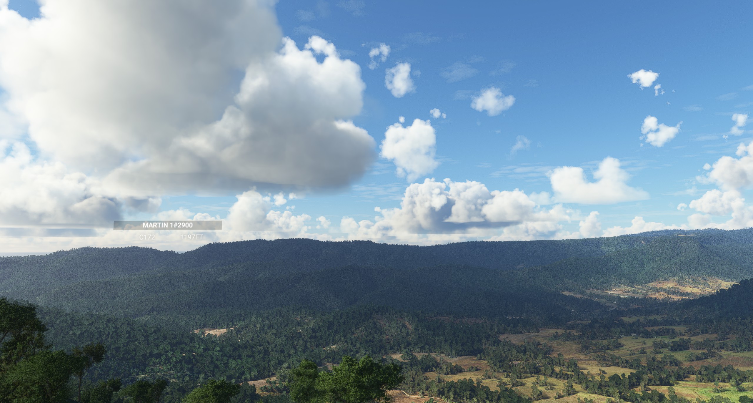
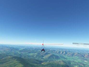
Rosin’s Lookout is a popular hang gliding and paragliding site in Beechmont, Queensland, Australia. It offers stunning views of the Numinbah Valley, the Springbrook plateau, the Lamington National Park and the Tweed Valley. It is suitable for novices to ridge soar safely with a clear view of the bottom landing area, as well as for experienced pilots who want to fly cross-country in easterly wind directions.
Site Information
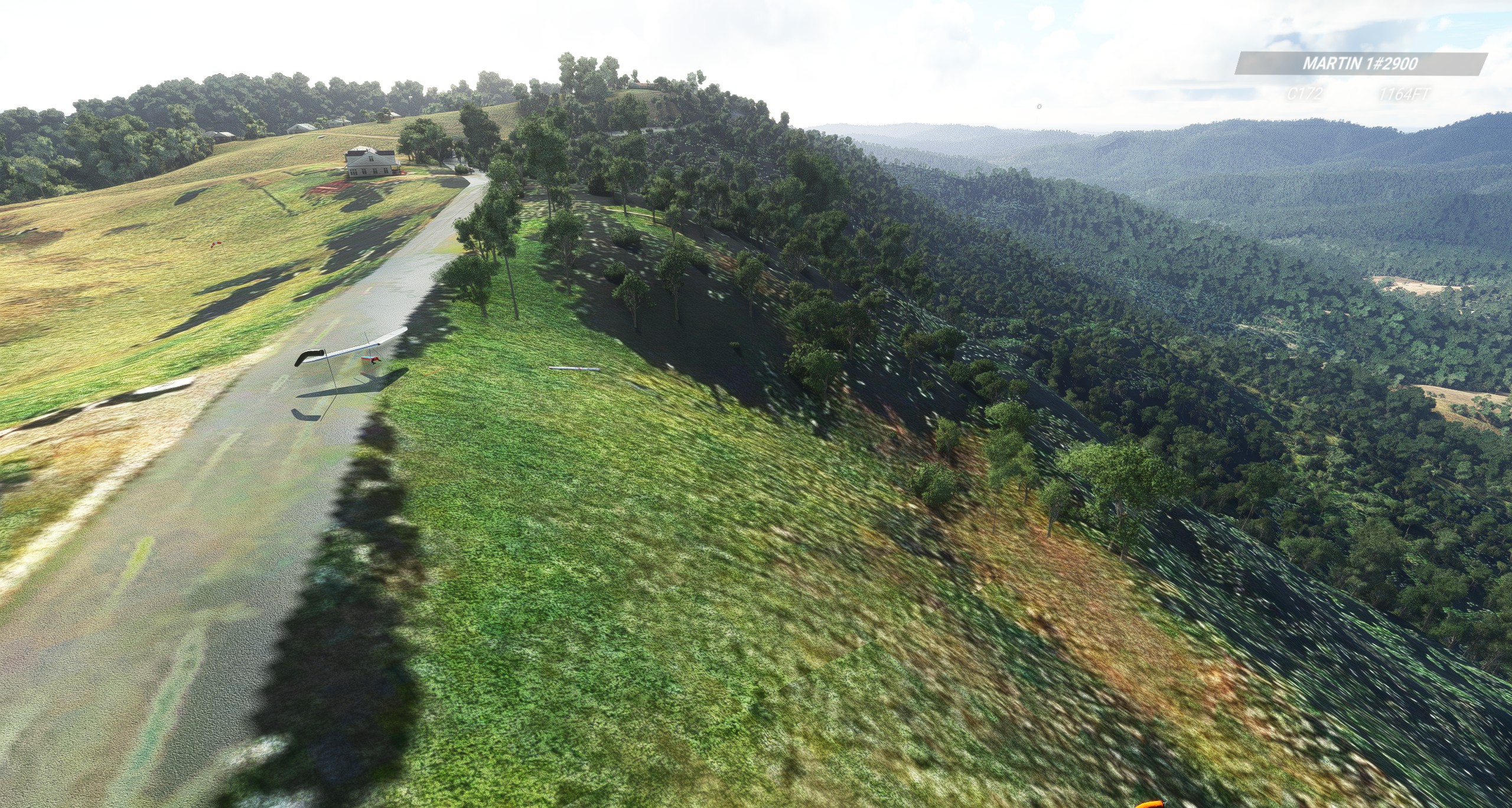
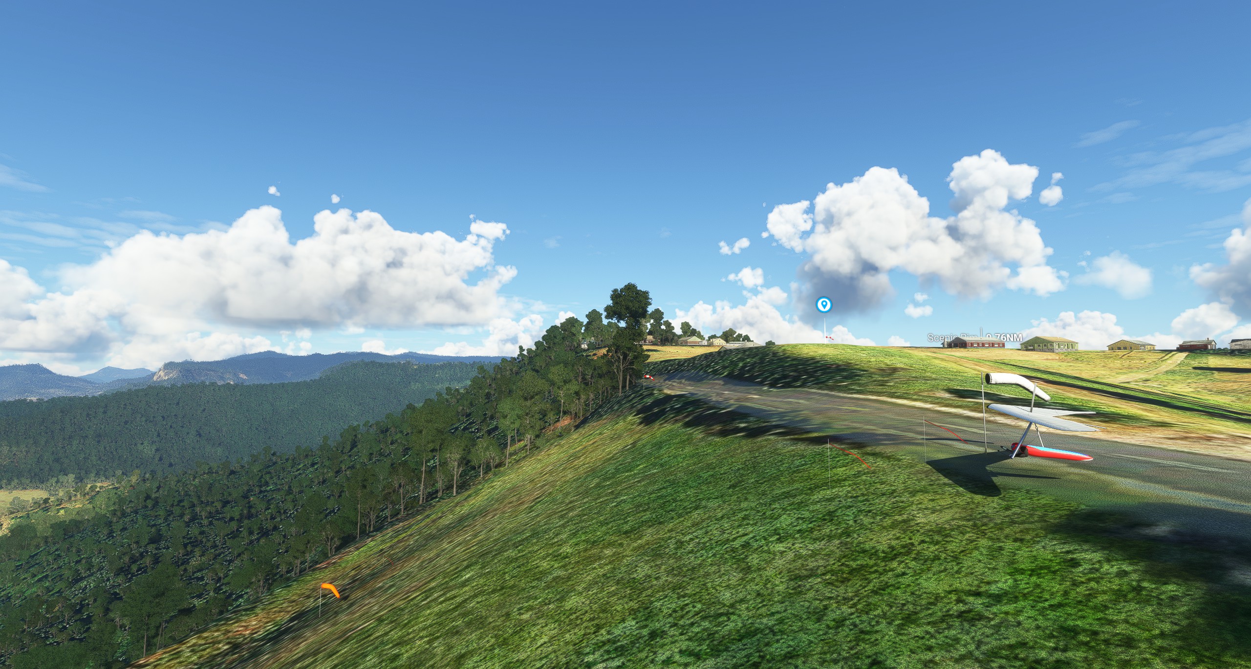
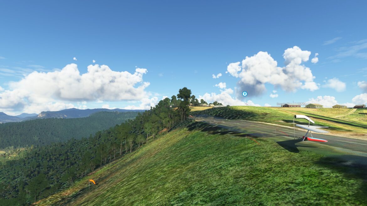
Rosin’s Lookout is located on Beechmont Road, adjacent to a peaceful picnic area with electric BBQ facilities, toilets and undercover seating. The site is open to club members and visiting pilots in the company of a CHGC member. The launch area is a prime spectator spot, but please park in the designated areas.
The site has three top landing areas (one dedicated to emergency landings only), and one bottom landing area on Pocket Road. The site can take wind directions from SSE to NE, with a launch altitude of 530m ASL. The site is often busy with hang gliders and paragliders, so be aware of the air traffic and follow the CHGC rules.
The site is only to be used by CHGC pilots or visiting pilots in the company of a CHGC member. Please contact the CHGC for more information.
Flying Conditions and Restrictions
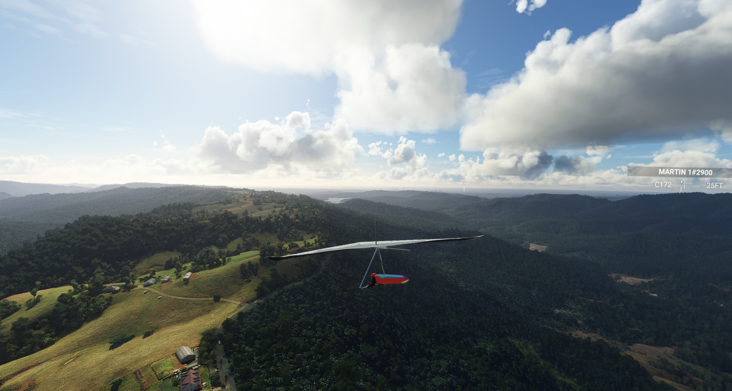
The flying conditions at Rosin’s Lookout depend on the wind direction and strength, the thermal activity and the cloud cover. The site can take wind directions from SSE to NE, but the ideal direction is ESE. The launch can get strong thermic gusts, especially in summer, so be careful of launching in turbulent conditions. The site is flyable most afternoons during summer, but can also be flown in other seasons if the conditions are suitable1.
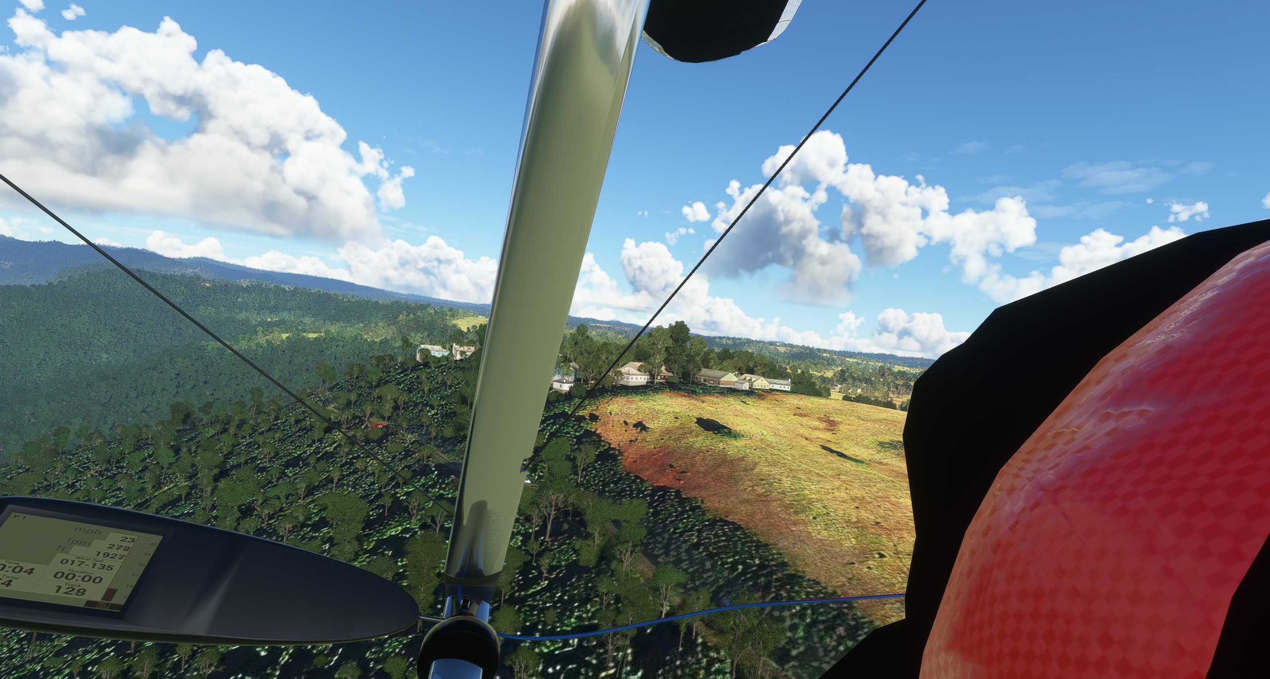
There are some restrictions and hazards to be aware of when flying at Rosin’s Lookout. The site is only to be used by CHGC pilots or visiting pilots in the company of a CHGC member. A day membership is the minimum requirement, purchased online. There are power lines going from the left (north) of the launch down to the valley, which are clearly visible on one of the pictures of the launch. There is also a windsock available at launch. Watch for other gliders face landing prior to take off. Follow the CHGC rules and respect the landowners and the public.
Some of the hazards of flying at Rosin’s Lookout are:
- Power lines going from the left (north) of the launch down to the valley. They are clearly visible on one of the pictures of the launch, but they can still pose a risk if you fly too low or lose control.
- Strong thermic gusts at launch, especially in summer. They can make launching difficult or dangerous, especially for inexperienced pilots. It is advisable to wait for a smooth cycle or ask for assistance if you are unsure.
- Air traffic from other hang gliders and paragliders. The site is often busy with pilots, so be aware of your surroundings and follow the right of way rules. Watch for other gliders face landing prior to take off and avoid flying over the launch area.
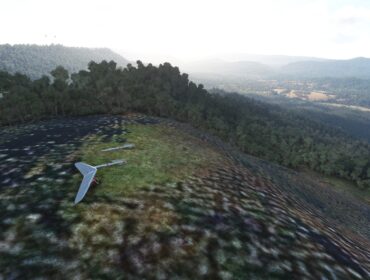
- Landing areas that may be limited or inaccessible. The site has three top landing areas (one dedicated to emergency landings only), and one bottom landing area on Pocket Road. The top landing areas can be tricky to access in light or cross winds, and the bottom landing area can be affected by rotor or sink. It is not recommended to walk up the mountain from the bottom landing area, as you have to cross private land, which is heavily frowned upon. It is best to arrange a retrieve or hitch a ride with another pilot.
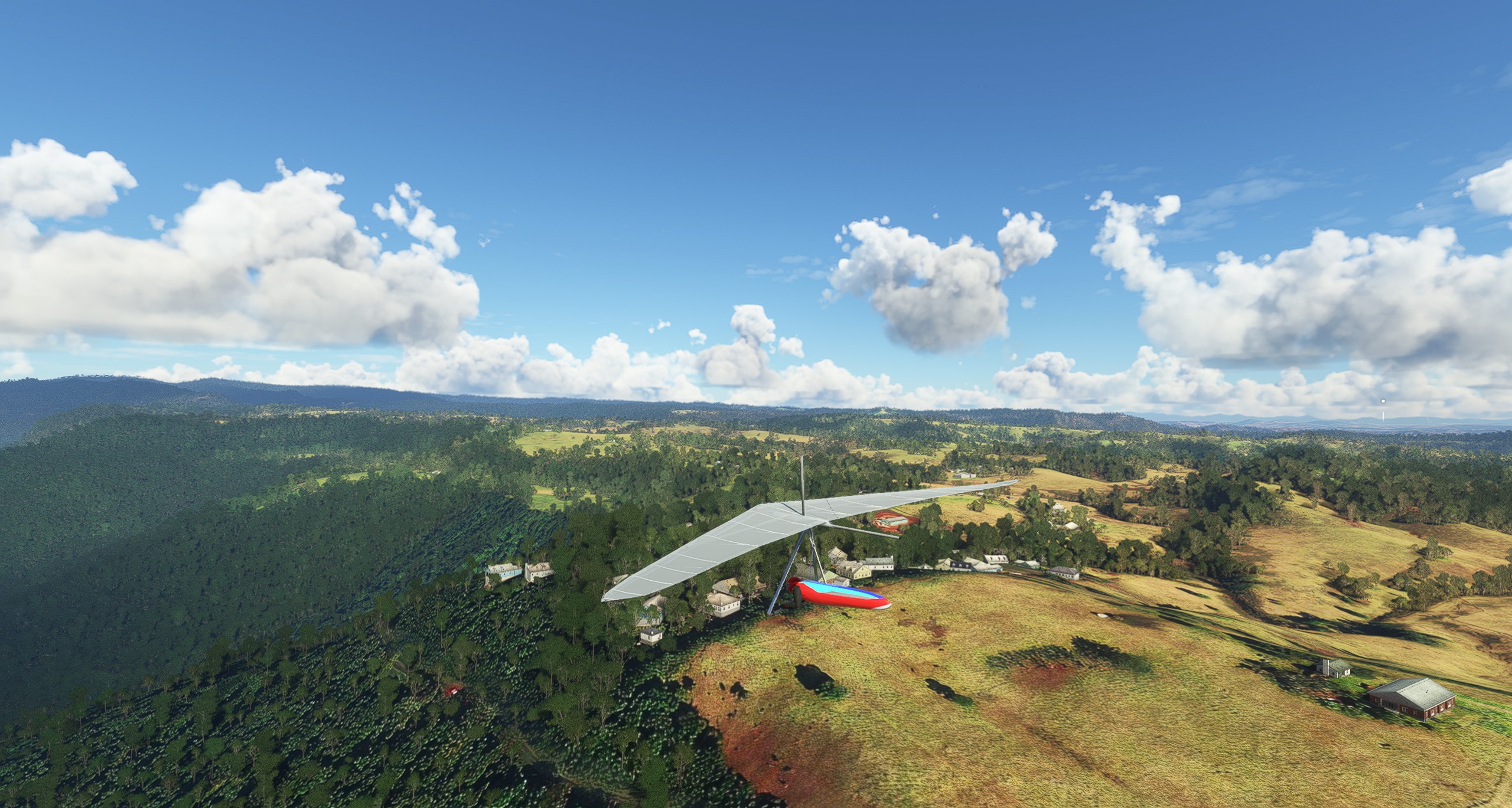
Top Landing Areas
- The Top Landing area is directly behind launch, on the other side of the road. It is a large grassy field with some trees and power lines. It is the easiest and safest option for top landing, but it can be tricky to access in light or cross winds. It is also used by the public for picnics and sports, so be careful of people and animals on the ground.
- The School area is a paddock on the other side of the school community hall, about 500m south of launch. It is a smaller and steeper field than the Top Landing area, and it can be affected by rotor from the trees and buildings. It is not recommended for novices or in strong winds.
- The New Estate area is a large open field about 1km north of launch, near the new housing development. It is a good option for landing in northerly winds, but it can also be turbulent and gusty. It is also used by model aircraft flyers, so watch out for their activity.
- Munsters is an emergency landing area only, located about 1.5km south of launch, near Munster Road. It is a small and sloping field with power lines and trees. It should only be used as a last resort, and only if you have permission from the landowner.
Please respect the landowners and the public when using the top landing areas, and avoid flying over or landing on private property or crops.
Munsters is an emergency landing area only, located about 1.5km south of launch, near Munster Road. It is a small and sloping field with power lines and trees. It should only be used as a last resort, and only if you have permission from the landowner.
If you have to land at Munsters, you should be careful of the power lines and the trees, and avoid damaging the crops or the fence. You should also contact the landowner and apologize for landing on their property, and offer to pay for any damages or inconvenience caused. The landowner’s phone number is +61412345678.
Please note that landing at Munsters without permission or cause may result in losing access to the site for all pilots, so please use it only as a last resort.