Steamboat Springs, Colorado – 40.449646, -106.735800, 3065 meters
The Mt. Werner flying site is accessed by permitted vehicle only. No hike and fly is permitted. Road permits are obtained from the SSRC by the SPHA Board of Directors prior to the flying season. Limited numbers of permits are available for Flight Director and Associate members.
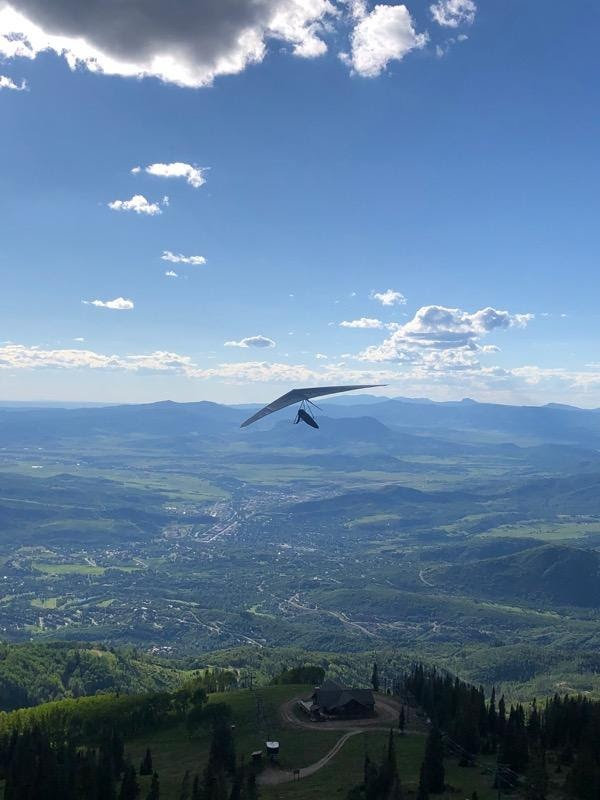
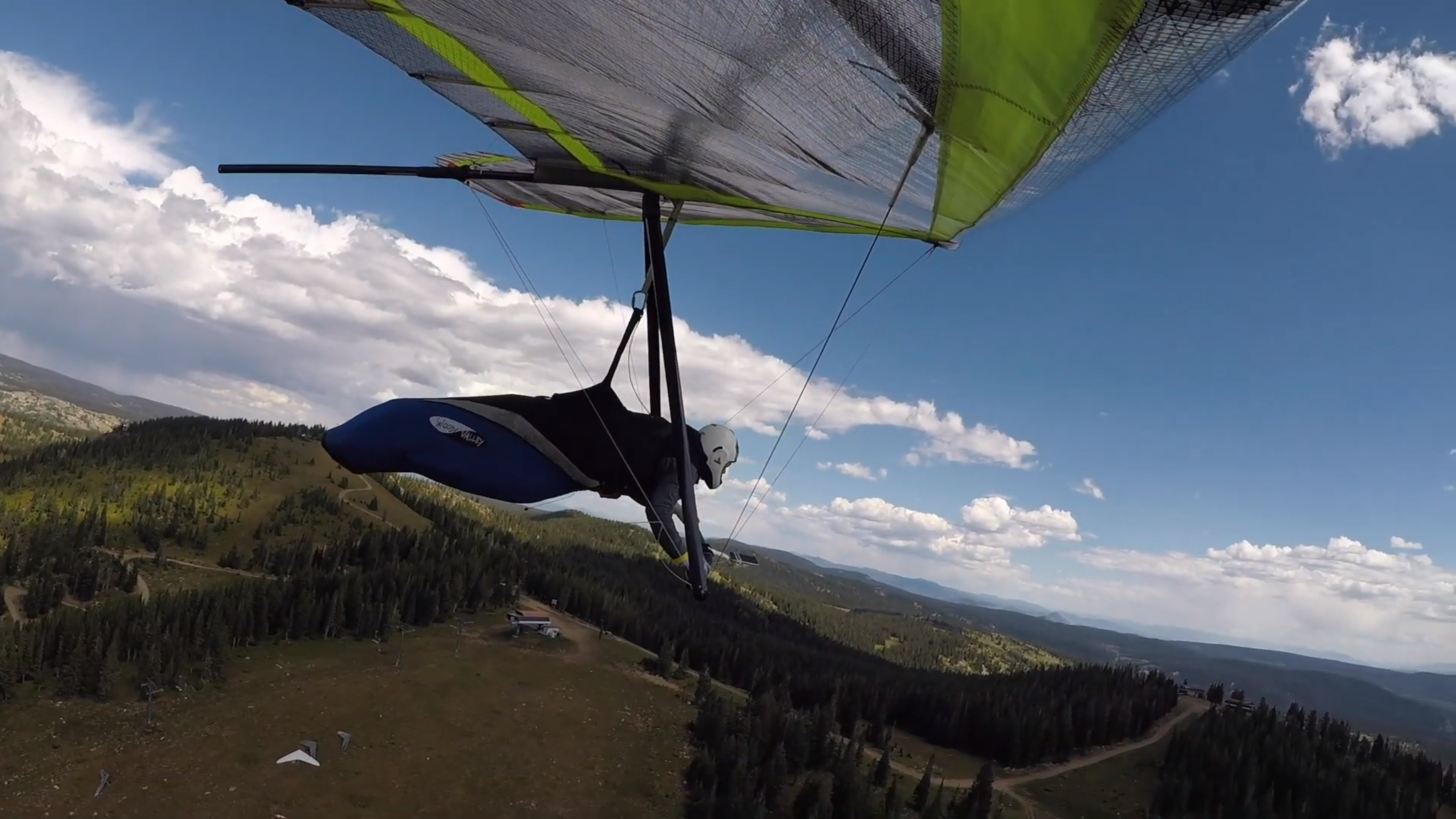
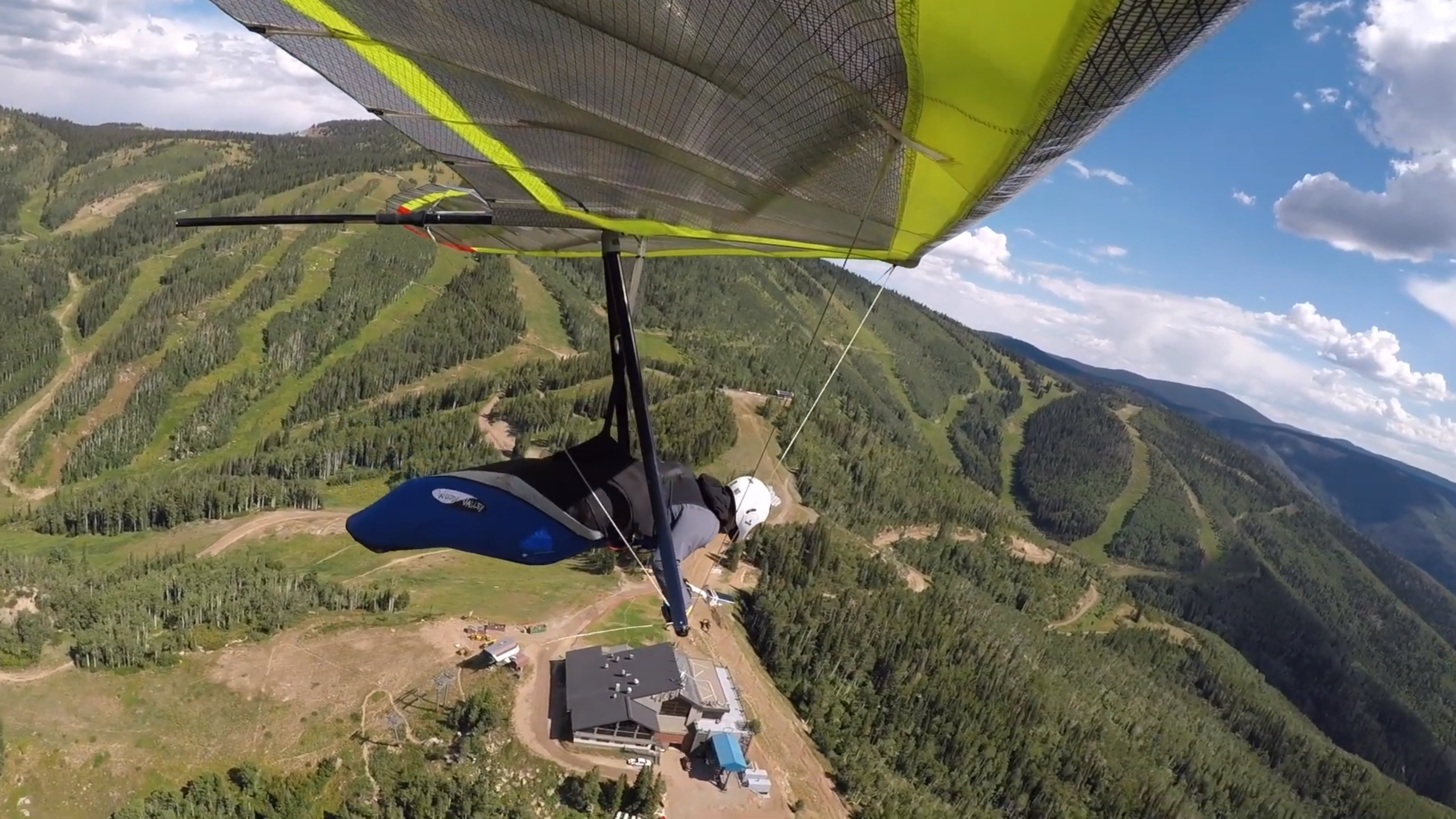
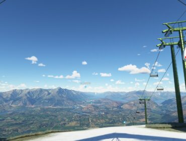
Parking for Heavenly Days and Upper Valley View launches is adjacent to the top gondola building. Parking for Storm Peak launch is on Storm Peak Summit.
Winter flying is arranged on a case by case basis with SSRC mountain operations personnel and is coordinated with the SSRC in advance.
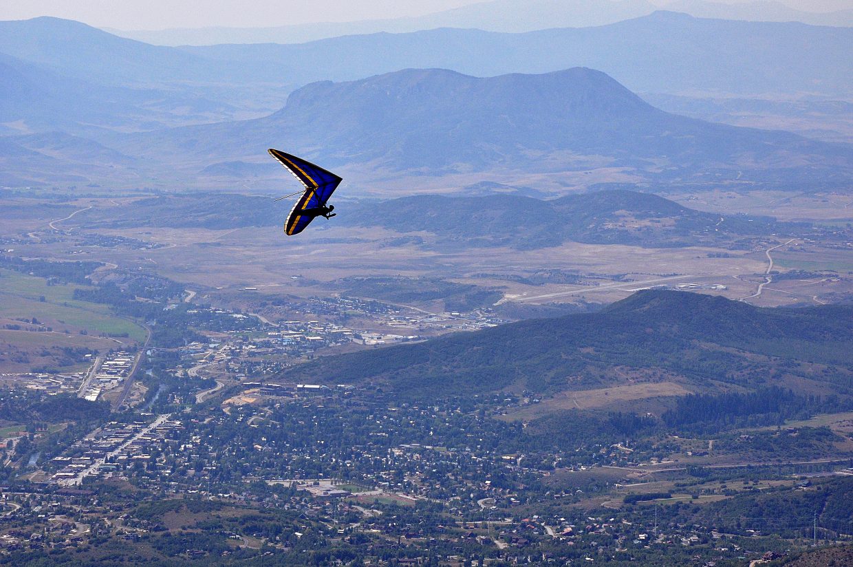
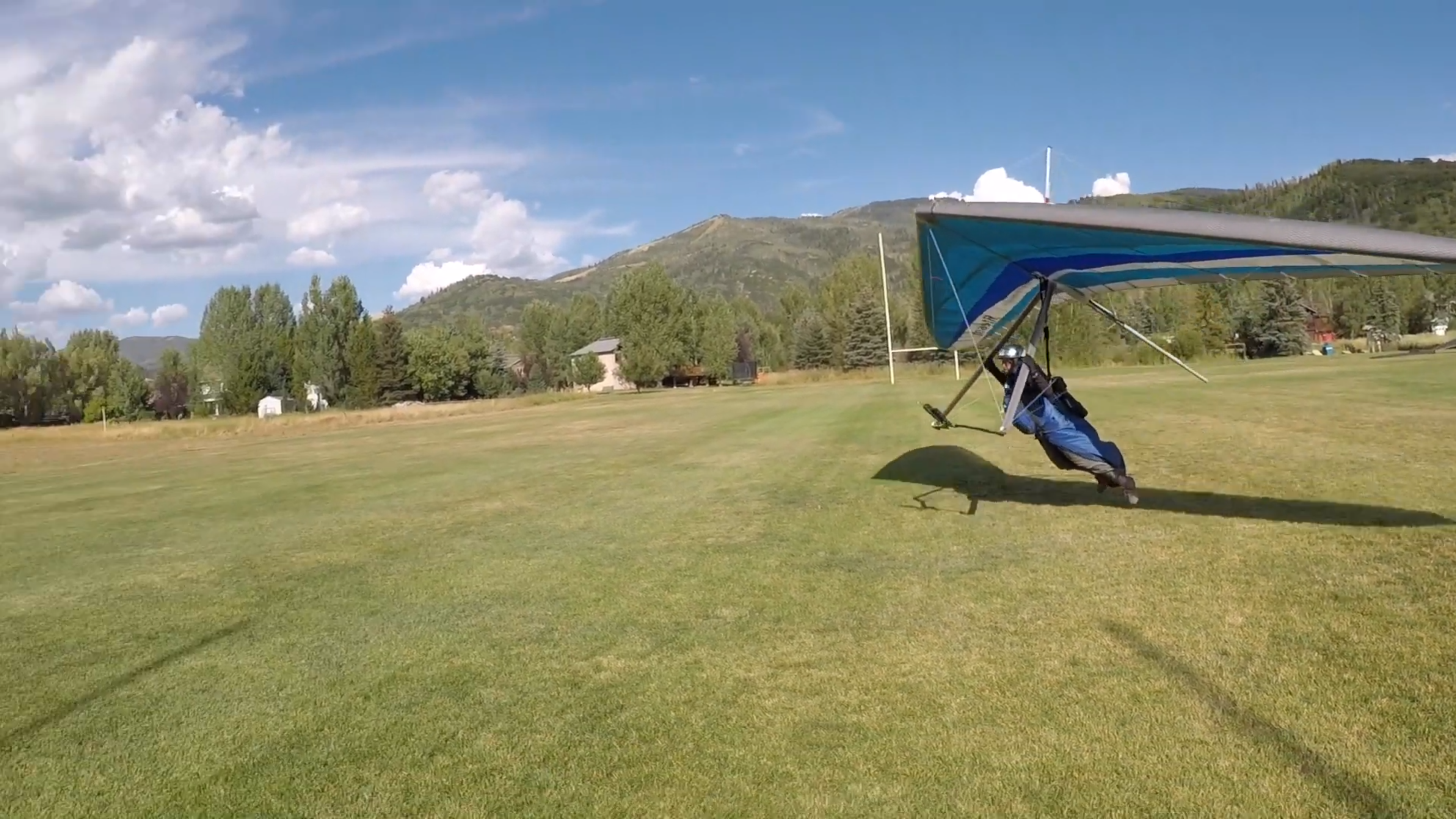
Flights originating from Mt. Werner will generally utilize one of two primary LZ’s. The primary LZ is Steamboat School Board Land and is generally known as Whistler Park. The school board land is north of Whistler Park proper, and although Whistler Park is additionally insured, all attempts to land on school board property should be made to alleviate conflicts between user groups and provide for safety and adherence to risk management. The other primary LZ is known as the Hay Field and is less restrictive and more advantageous for lower airtime pilots and is also additionally insured.
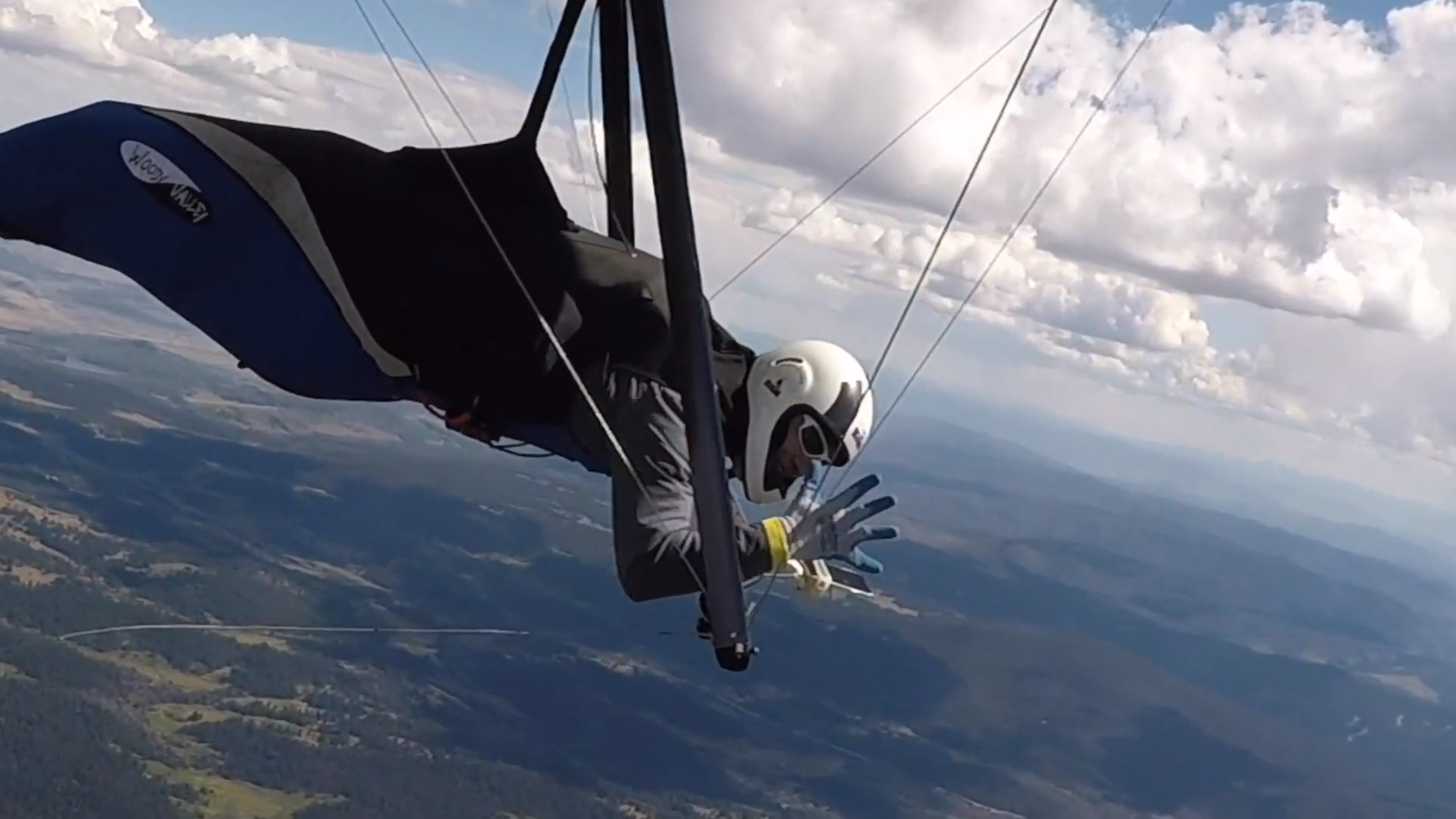
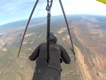
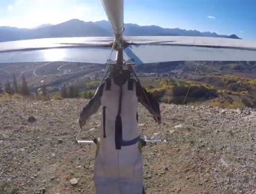
After launching and for the remainder of the flight pilots will maintain a safe distance from the gondola building, ski lifts and other manmade and natural obstructions. Generally avoid traffic to the right, clear all turns, first glider in thermal dictates turn direction, lowest gilder has right of way and basic ridge soaring rules should be followed. Any pilot skilled enough to fly Mt. Werner will be able to elaborate on these general and other basic soaring protocols. If they cannot, then they are likely not advanced enough pilots to fly.