North America – USA – California
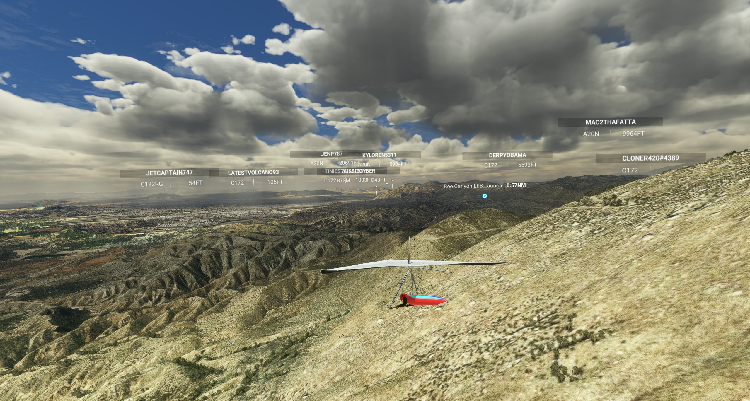
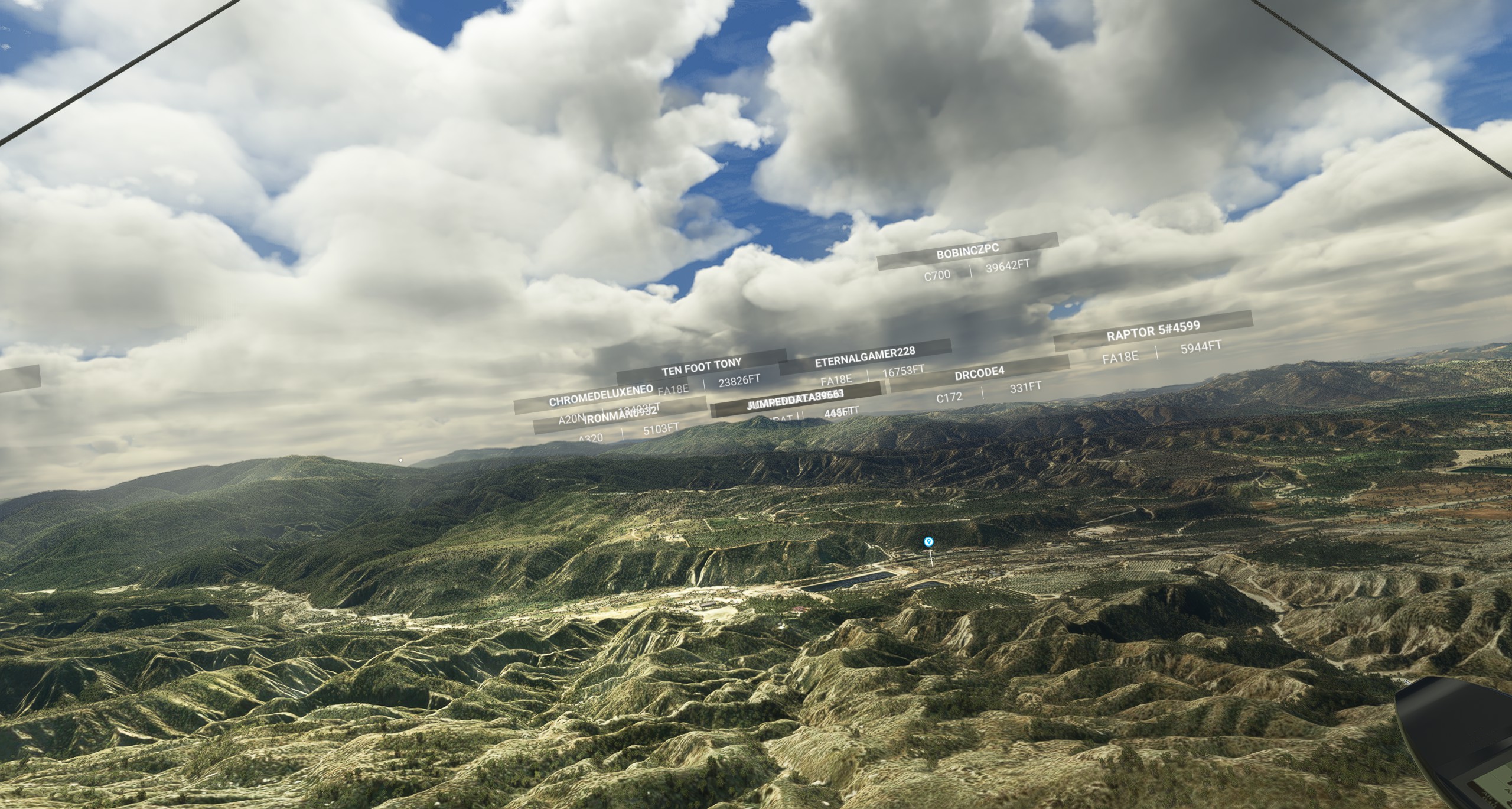
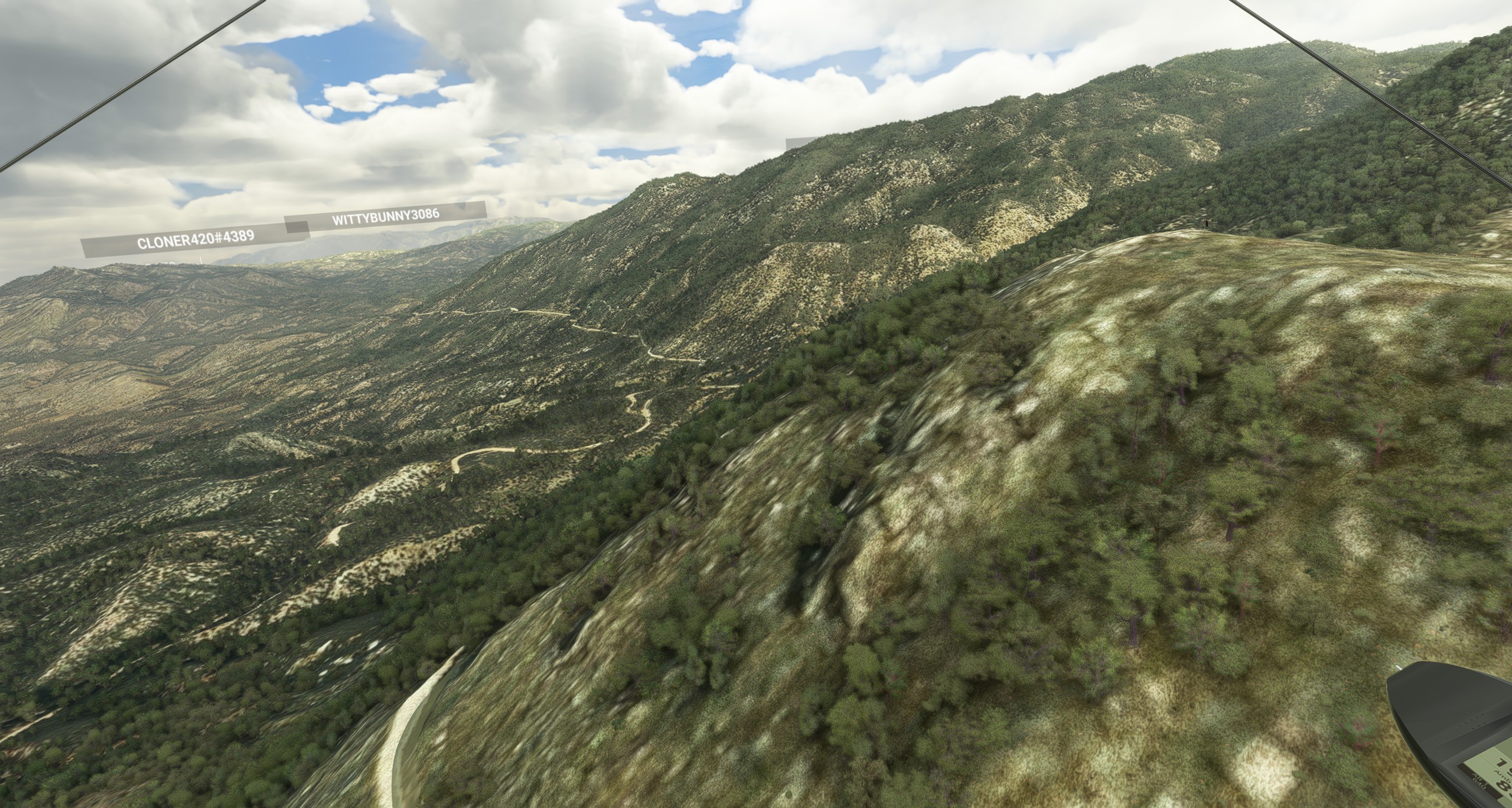
Bee Canyon LFB is a hang gliding site located in the San Bernardino National Forest, California. It is a popular site for intermediate and advanced pilots who enjoy flying in thermic conditions and exploring the surrounding mountains. The site offers spectacular views of the San Jacinto and San Gorgonio peaks, as well as the Lake Perris and Moreno Valley.
Site Information
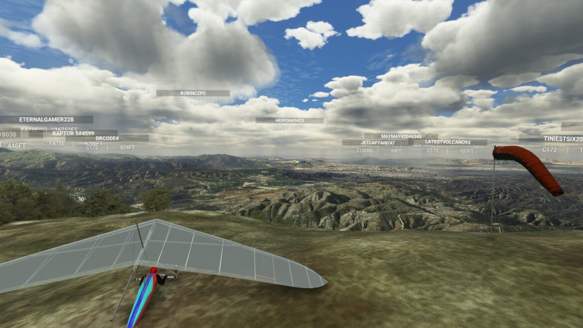
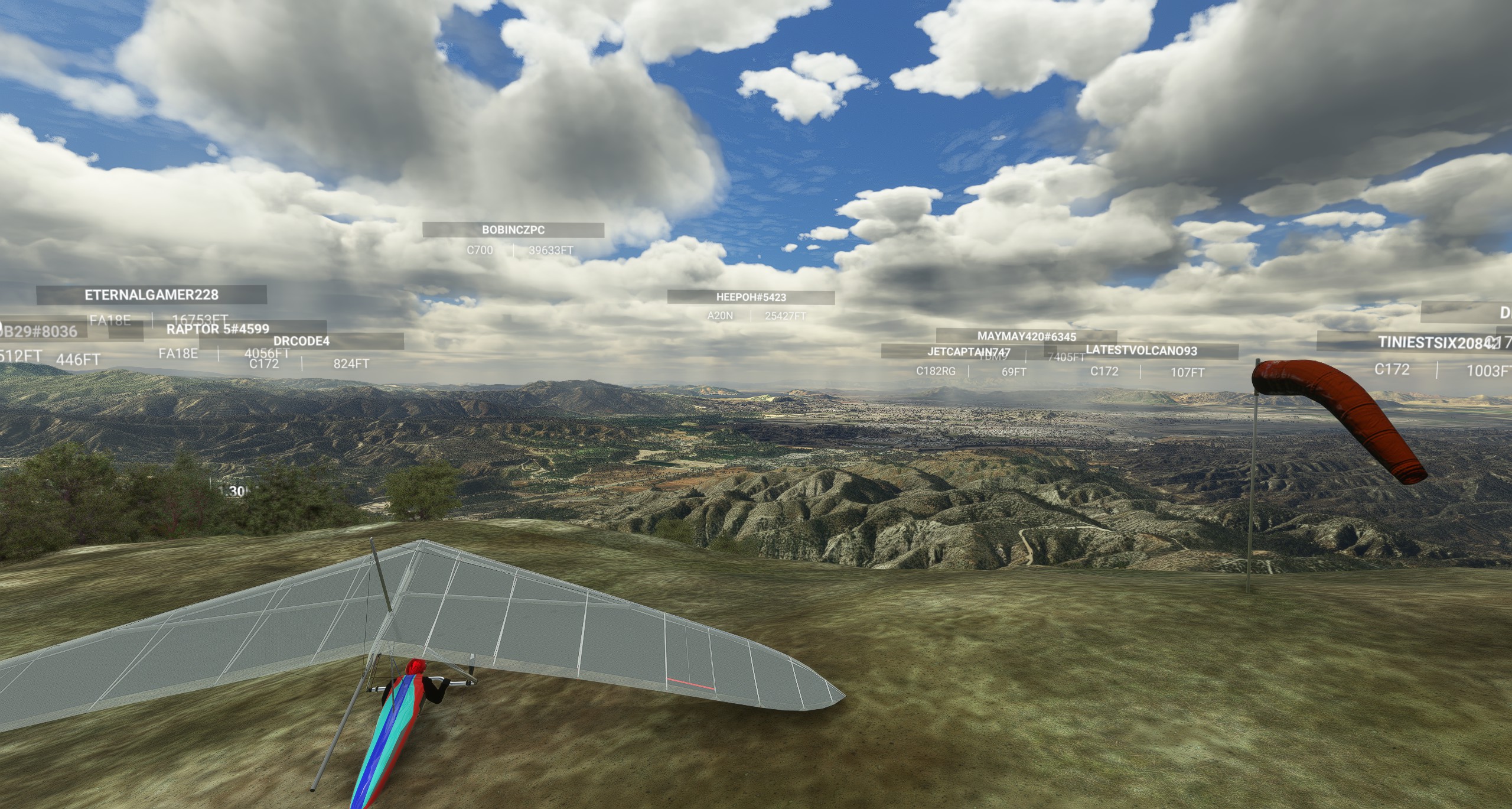
- Launch is a little hill (Little F*****g Bump) at 3,500’ elevation facing generally West.
- Hike up dirt road from parking area on back (East) side of hill.
- Bench up using the larger hill to the East of the LFB and jump to any of the other hills to the North and Southeast if enough lift.
- Landing is in a large dirt field on the West side of the hill, or in any of the other fields along Gilman Springs Road.
- The site is managed by the Crestline Soaring Society (CSS), which requires a membership or a day pass to fly there. The site is also regulated by the US Forest Service, which requires a valid Adventure Pass to park in the area.
- The site is open year-round, but best flown in spring and summer when the thermals are stronger and more consistent.
- The site is suitable for hang gliders only, not paragliders.
Locations and Directions
- Bee Canyon LFB is located in the San Bernardino National Forest, California, about 20 miles southeast of Riverside and 80 miles east of Los Angeles.
- The site can be accessed from Gilman Springs Road, which connects Highway 60 and Highway 79. Turn onto Alessandro Boulevard and follow it until it becomes Soboba Road. Turn right onto Castille Canyon Road and drive for about 3 miles until you reach a dirt parking area on the left side of the road. This is where you park and hike up to the launch.
- The site is about a 2-hour drive from Los Angeles International Airport (LAX) or a 1-hour drive from Ontario International Airport (ONT). You can rent a car or take a shuttle service to get to the site from the airports.
Flying Conditions and Restrictions
- Bee Canyon LFB is a thermic site that works best in west to northwest winds of 10 to 20 mph. The site can also be flown in southwest winds, but they tend to be more turbulent and cross.
- The site is not recommended for beginners or low-airtime pilots, as the launch is small and steep, the landing is tight and surrounded by power lines, and the air can be rough and gusty. The site requires good launch and landing skills, as well as the ability to deal with strong thermals and sink.
- The site is also prone to overdevelopment and thunderstorms in the summer, so pilots should check the weather forecast and conditions before flying. A good source of wind and weather information is Windfinder123, which provides hourly updates and forecasts for the site.
- The site is regulated by the Crestline Soaring Society (CSS), which requires a membership or a day pass to fly there. Pilots must also have a USHPA rating of H3 or higher, a helmet, a reserve parachute, and a radio. Pilots must follow the CSS rules and regulations, as well as the US Forest Service rules and regulations, when flying at the site. Pilots must also respect the landowners and the local community, and avoid flying over or landing on private property.
Best Times to Fly and Visit
- Bee Canyon LFB is open year-round, but the best times to fly are in spring and summer, when the thermals are stronger and more consistent. The site can also be flown in fall and winter, but the conditions are more variable and depend on the weather systems.
- The best time to visit Brisbane is from March to May (fall) or September to November (spring), when the weather is mild and sunny, and the city hosts many cultural and outdoor events. Brisbane is a vibrant and diverse city, with plenty of attractions, restaurants, nightlife, and natural beauty to explore.
More Information
- For more information about the site, you can visit the Crestline Soaring Society website, where you can find the site rules, regulations, fees, and contacts. You can also join their Facebook group to connect with other pilots and get updates on the flying conditions.
- For more information about the wind and weather forecast, you can visit Windfinder1, which provides hourly updates and forecasts for the site. You can also download their app to get real-time wind and weather reports on your phone.
- For more information about the launch and landing areas, you can visit Paragliding Map2, which shows the location, direction, altitude, and slope of the launch and landing areas. You can also see the live wind direction and speed on the map.
- For more information about the flights and records from the site, you can visit Spedmo3, which tracks and displays the flights of hang glider pilots who use GPS devices. You can see the flight tracks, distances, altitudes, speeds, and durations of the flights from the site.
