◉ FLIGHT LOG · September 23, 2026↗ DROP IN↘ LANDING DAMAGED✓ REAL WEATHER VERIFIED⇆ SLEW USEDMSFS 2024
STATUS · VERIFIEDSlew used during this flight — the duration counts flying time only.
FLIGHT LOG · BLUEXDRGN'S FLIGHT
Ol Doinyo Lengai — Arusha, TZA
September 23, 202600:00 UTC → 00:23 UTC
Altitude profile · ft MSL━ Altitude┅ Take-off 9,587 ft▆ Ground
Above take-off 10% of the flight · max +105 ft over take-off
Height above ground · ft AGLmax 4,029 ft
Distance
7.8km
Duration
23m 53s
Alt. Gain
1,896 ft
Max Altitude
9,692 ft
HISTORICAL WEATHER MOMENT
Wed, 23 Sep 2026 13:38:29 UTC
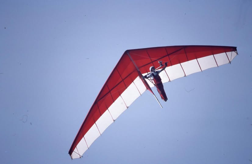
Glider
King Post
Variant not recorded in this flight file
Launch & Landing
LAUNCH · DROP IN
LANDING · DAMAGED
◉ THGF · FLIGHT LOG · BLUEXDRGN