DOSSIER · 417SITE · EUROPE
49°41′24″N · 0°10′10″ELIVE CHART · OBSERVED 0351Z
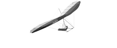
Airworthy · H3+EUROPE · SEINE MARITIME · FRA
Etretat
ThermalRidgeReal SiteFoot Launch
ELEV 89 M / 292 FT
Specimen Sheet · Vital Statistics
Launch Elev89 m
Launch Elev FT292 ft MSL
Best Wind305° · 10–20 kt
Coordinates49.6901° N
0.1694° E
Classification · Terrain & Access
CliffBeachFoot LaunchRoad AccessTrail
§ 01CHART · LAUNCHES & LANDINGS
Field chart.
Launch point
Landing zone
Launch heading
1 LAUNCH · 1 LZ · ALT RANGE 89–95 M
§ 02 · Flying Conditions · Field NotesUpdated 2026·03·21
Launch a flight near the cliffs of Etretat.
This site is a hang gliding site that you can fly in the real world. Has 1 different launch points. The best wind direction is 305 @ 10 knts but many sites can be flown from multiple directions, so check before you fly.
You can expect to find: thermal conditions ridge soaring conditions , all dependent on current weather conditions.
§ 03 · Wind Window · Best Operating EnvelopeNW · 305° ±1°
10–20 kt
Primary · NW · 305°
Envelope: 304° – 306° (±1°)
Preferred · 10–15 ktWorkable · 15–23 ktHazardous · >25 kt
Chase the Wind
Real-time METAR data helps you find a good conditions window and set your MSFS world clock to match.
Weather data temporarily unavailable.
§ 07 · Location · Field CoordinatesWGS-84
Latitude49.690079
Longitude0.169441
DMS · N49°41′24″N
DMS · E0°10′10″E
Altitude89 m
Altitude FT292 ft
UTM31U 295 855 E · 14 471 943 N
§ 09 · Recent Flights · Log Book
No flights logged at Etretat yet.
Be the first to fly here, upload your IGC file, and set the site records for others to chase. Every flight logged helps build the community data.
Upload a flight →FILE № 417 · CLOSED 2026·03·21
THE HANG GLIDING FILES · THGF
✎ SURVEYED · EUROPE · FRA